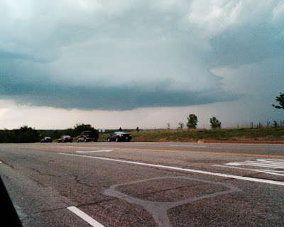

The first picture (above) is underneath the system, the second photo (below) is approximately 15 miles south of the system.
In the top photo you can kind of see the cloud formation in the right-hand (dark) side of the photo.
This system moved northeast and produced a lot of golf-ball size hail, but the tornados came later at night from a different line that moved through the state.
This one was such a massive system, and the local TV stations had gotten people in a huge panic that a lot of drivers had pulled off alongside the road (or were driving towards it) to take photos of it, thinking a tornado might drop down from it at any minute.
Yay for camera phones.
Bigger hurray for meteorologists at local TV station KSBI for accurately reporting on the storm and keeping viewers calm.